T60_AR - AR Enhanced RTK Field Survey Terminal
The SinoGNSS T60_AR is a cutting‑edge augmented reality (AR) enabled RTK surveying terminal that fuses GNSS positioning, inertial navigation, and real‑time visual imaging to deliver an immersive, efficient layout and measurement experience. By combining high‑precision RTK with visual guidance, the T60_AR significantly improves field stakeout accuracy and productivity without the need for traditional repeated pole repositioning.
Key Features
AR Real‑World Stakeout: Seamlessly integrates RTK positioning with live camera imaging to display stakeout points directly in the real scene, enabling users to follow visual guidance and mark points in one go with precision and clarity.
High‑Precision GNSS: Supports full‑constellation GNSS tracking with up to 1590 channels and access to over 50 satellites for rapid fix times and robust signal performance.
RTK + Visual + IMU Fusion: Advanced fusion of satellite, inertial, and visual data ensures stable measurements even in challenging environments with electromagnetic interference.
Tilt Measurement & No Initialization: Integrated inertial navigation supports up to 60° tilt measurement and eliminates the need for lengthy initialization, boosting field efficiency.
Star‑Based PPP & Precise Single‑Point Positioning: Supports B2b and HAS augmentation for fast convergence and centimeter‑level accuracy, even in network‑limited conditions.
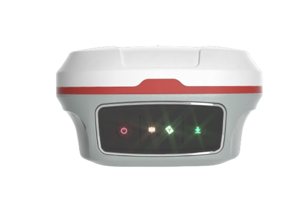
Rugged & Field‑Ready Design: IP68‑rated dust and water resistance, quick‑charge support, and robust hardware ensure reliable all‑day field operation.
Efficient Field Software: Compatible with modern surveying applications capable of opening large CAD files instantly, offering broad CAD compatibility and support for collaborative workflows.
Typical Applications
The T60_AR is ideal for:
Construction layout and stakeout
Municipal and civil surveying
Topographic and terrain measurements
GIS data collection with visual context
Any workflow requiring real‑scene guidance and enhanced positional accuracy